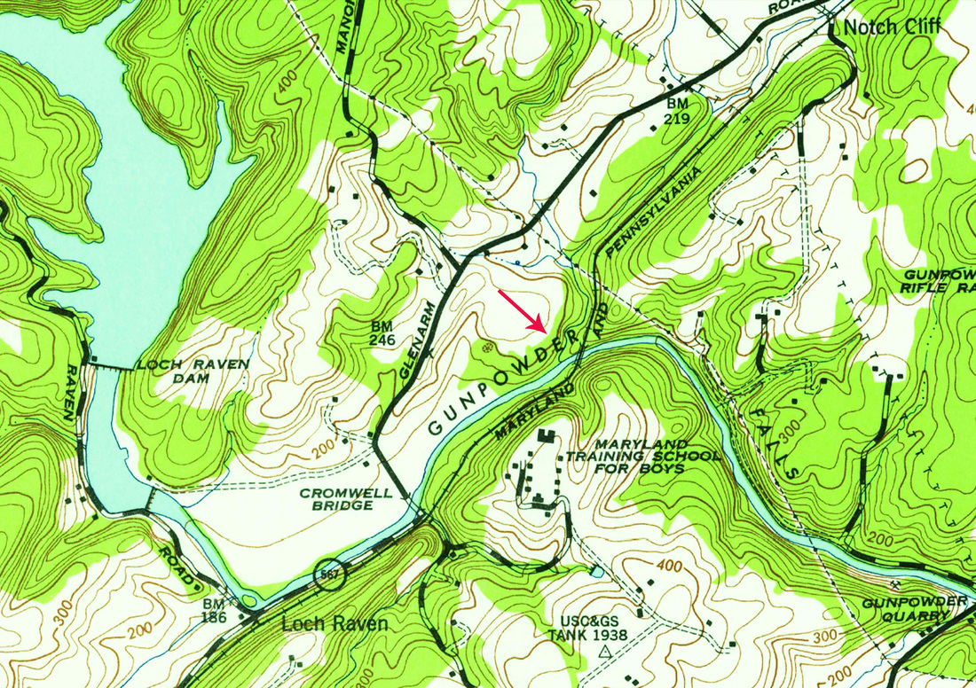
USGS Historic Topographic Map, crop. Bridge #122, Gunpowder Falls.
|
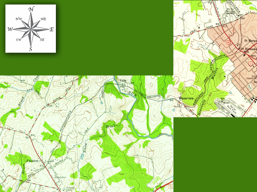
USGS Historic Topographic Map, from author's collection, merged and cropped. The modelled mainline runs from Fallston, northbound, to Vale and then Bel Air. The maps are dated 1956. The staging yards are not indicated.
